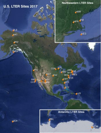
Twenty-eight research sites constitute the LTER Network at present. The geographic distribution of sites ranges from Alaska to Antarctica and from the Caribbean to French Polynesia and includes agricultural lands, alpine tundra, barrier islands, coastal lagoons, cold and hot deserts, coral reefs, estuaries, forests, freshwater wetlands, grasslands, kelp forests, lakes, open ocean, savannas, streams, and urban landscapes. Each site develops individual research programs in five core areas:
- Pattern and control of primary production;
- Spatial and temporal distribution of populations selected to represent trophic structure;
- Pattern and control of organic matter accumulation in surface layers and sediments;
- Patterns of inorganic inputs and movements of nutrients through soils, groundwater and surface waters; and
- Patterns and frequency of site disturbances.